NOAA PIFSC, Quarterly Research Bulletin, October 2010
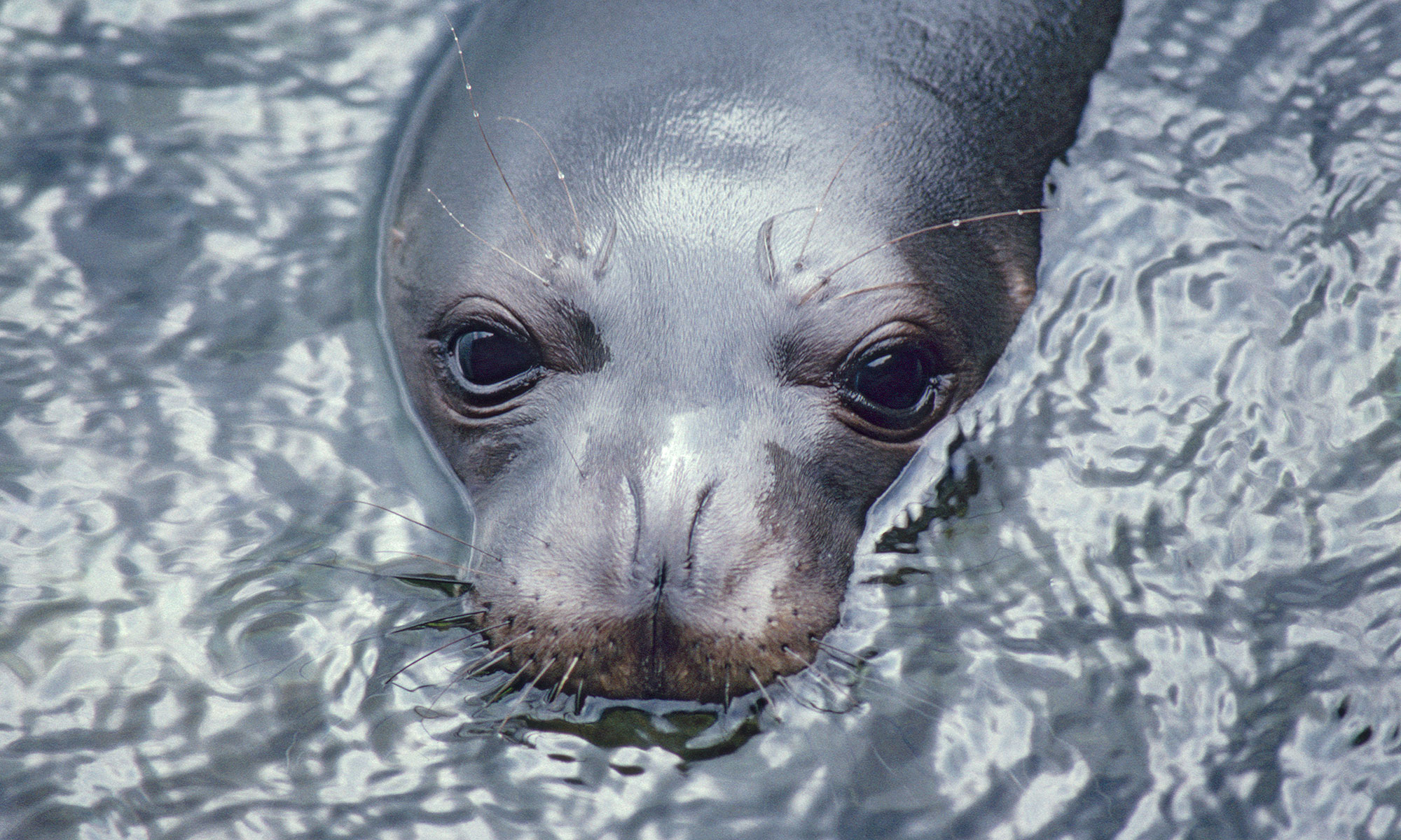
 The Center’s Hawaiian Monk Seal Research Program is using new technology to better understand the foraging behavior and habitat use of monk seals in the main Hawaiian Islands. The new tool is a telemetry tag that incorporates a global positioning system (GPS) unit, a GSM cell phone module, and standard sensors for recording data on the seal’s surroundings.
The novel tag was developed by researchers at the Sea Mammal Research Unit (SMRU), University of St. Andrews, U.K., and has greatly increased the ability of researchers to describe habitat use by seal populations. The device increases both the quality and amount of data researchers are able to obtain in marine mammal telemetry studies.
This year, the Center’s monk seal research staff deployed eleven cell phone tags on adult and sub-adult monk seals. The instrument is attached to a neoprene base, which in turn is glued to the seal’s pelage. Data collected by the tags, including information the seal’s location, dive depth and ambient ocean temperature, are downloaded periodically using Google Earth. The data enable researchers to view the current location and recent movements of the instrumented marine mammals.

Data collected so far show that most of the tagged seals made regular trips to sea to forage and returned to land within 1-2 weeks. However, one adult male (identified as seal R012) tagged on Oahu made an oceanic voyage lasting about 1 month, as shown in the map. This type of trip is very uncharacteristic of monk seals. They feed on animals in benthic habitats and most of their travels involve moving between such foraging areas and beaches, where the seals rest or care for pups.